The farmer knows the field.
Location, crop choices, previous seasons, water access, resources and observations begin the conversation.
Every farmer faces different decisions. CropSuite begins with what you know about your field and the crops you want to grow, and explores how NASA Earth data could inform your next planting season.
Kayonza, Rwanda·Maize & common beans·Rotation guidance
A NASA Space Apps Challenge 2026 project exploring crop rotation with Earth data.
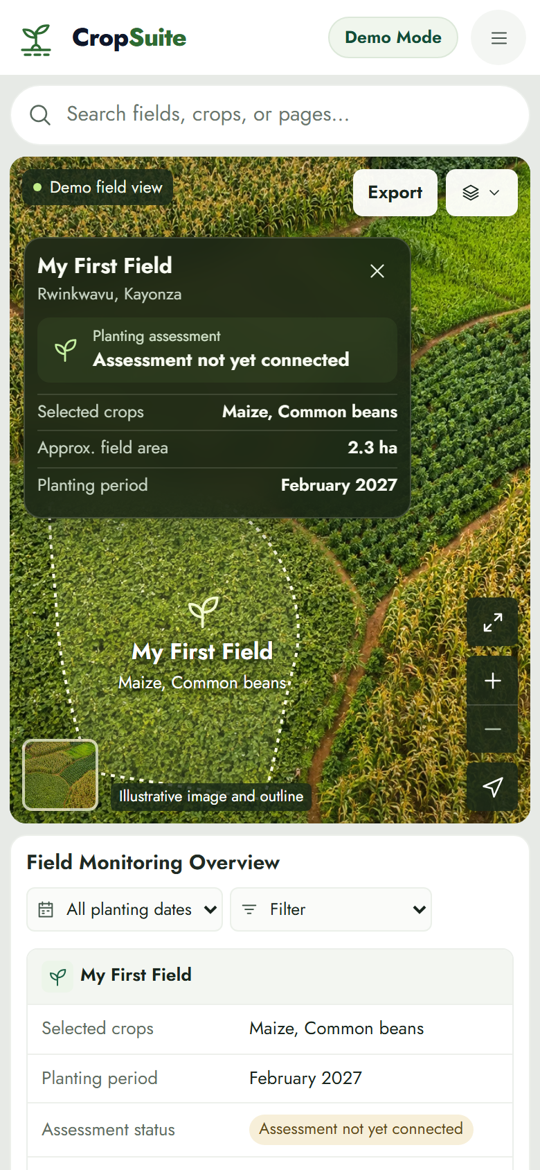
Illustrative demo
Kayonza pilot
Maize & beans
Compare · plan · rotate
It starts with you
A farmer may be choosing between maize and beans, depending on rainfall, or planning around a harvest deadline. Every field and every family has its own story.
CropSuite starts by asking what you know. Your experience provides local detail that regional data cannot capture.
Explore the questions
Your location helps identify the regional information that may be relevant.
An example of the questions in your farm setup. Answers can be updated.
The comparison, climate evidence and rotation assessment are illustrative or pending in this demo.
Our starting point
We’re beginning in Kayonza, in Rwanda’s Eastern Province, where rainfall varies across seasons and locations. For farmers who depend on rain, choosing when and what to plant can involve difficult trade-offs.
CropSuite explores how local farming knowledge and regional Earth data can support more informed decisions.
Research behind this pilot ↗Kayonza is our pilot. Individual field conditions can still differ from regional estimates.
Knowledge from field to sky
NASA provides historical climate information that can help us examine rainfall and temperature patterns across growing periods. CropSuite brings that wider picture together with crop information and what the farmer tells us.
Location, crop choices, previous seasons, water access, resources and observations begin the conversation.
 NASA POWER
Historical rainfall and temperature estimates can help reveal patterns across growing periods, including dry spells and heat exposure.
 FAO GAEZ
 assesses modeled crop suitability under particular climate, soil, water and management conditions. It is a separate agricultural model.
Your knowledge + Earth data + crop science = a more informed planting plan.
Climate and suitability assessments are not connected in this demo. The farmer remains the decision-maker.
Screenshots
From your field details to possible planting options, CropSuite is designed to bring the pieces of a farming decision into one understandable place.
My Farm
Illustrative demo

Choose crops
Illustrative demo

Explore options
Illustrative demo

Rotation planning
Illustrative demo
Sources and limitations
Farmer knowledge, regional climate estimates and agricultural models each tell a different part of the story. Regional information can support decisions, but it cannot replace field observations or guarantee harvest results.
CropSuite is a NASA Space Apps Challenge 2026 project exploring crop rotation with Earth data. NASA does not endorse CropSuite.
Your next season
Tell CropSuite what you’re planning, what grew before, and what matters most to you. Explore how that information can shape a better-informed plan.